To the Pakistan – China border on a motorbike!
So a while ago my chotta bhai (little brother) Moazam and I decided to go driving to the north of Pakistan on a motorbike! To save money on petrol, we piled onto one bike together, a Honda 125, and set out from Rawalpindi, the large city just sixteen kilometres south of the national capital Islamabad. It was late June and early July, and the monsoon was just starting to sweep across Punjab, meaning we encountered a bit of rain along the way. We carried a small tent for camping, and a backpack each.
Since returning to Lahore we’ve both fielded lots of questions from individuals interested in taking on a similar trip, so I have decided to publish the details of the road conditions and facilities along the way. This information was correct at the time of writing, however like everything related to travel, is subject to change.
Day 1: Rawalpindi – Balakot (168kms)
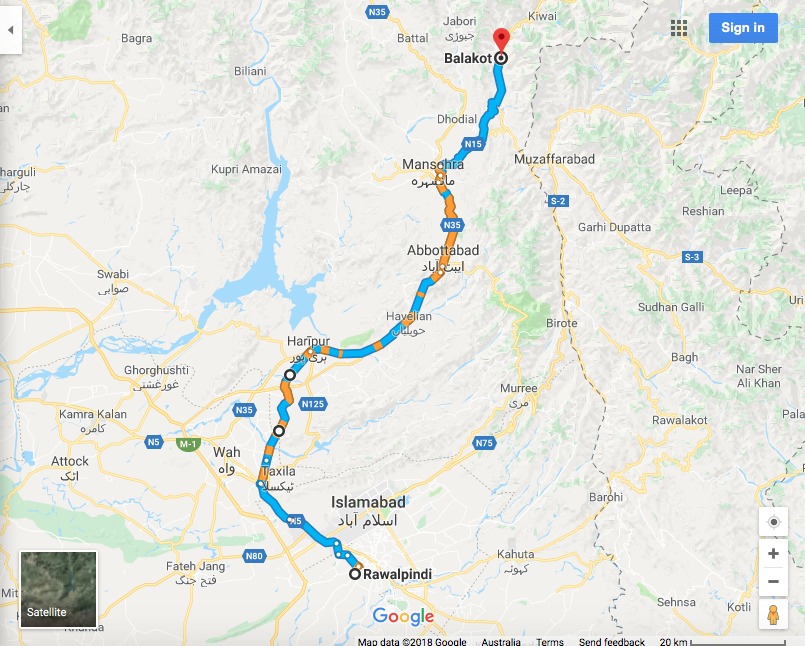
Map: Google
After pouring rain until lunch time, we left late from Rawalpindi and headed along the Grand Trunk Road (GT Road towards Taxila, before taking a right turn and heading northbound towards Haripur. Although the Karakoram Highway actually begins further along from Hassan Abdal, the HMC Road (also called Not Najeebulah Road) shortens the journey. We joined the Karakoram Highway at Haripur. Neither GT Road nor HMC Road are anything to write home about (factories in fields full of dying grass), but facilities are frequent and it’s only a short while before you are on the main highway.
Cars can take advantage of the new Hazara Expressway which is currently open as far as Havelian, from which point it reverts to the Karakoram Highway.
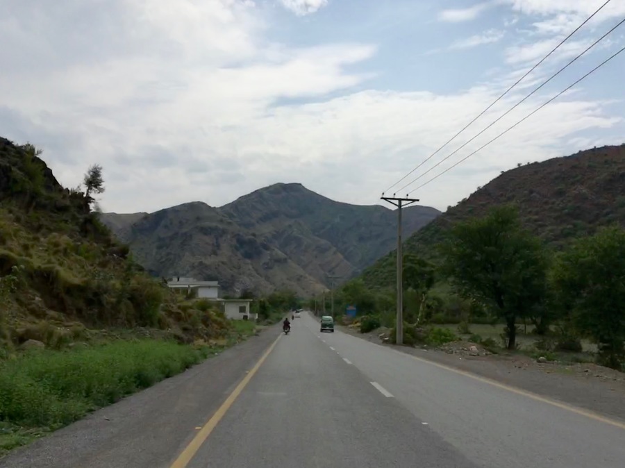
On the road near Abbotabad
The Karakoram Highway at this point is comfortably wide but busy with all sorts of traffic – trucks, military vehicles, holidaymakers in a mad rush. Facilities are available in each major town; Haripur, Havelian, Abbottabad and Mansehra. The scenery is pleasant, if unremarkable; semi-rural fields, hills in the distance.
At Mansehera the road splits, and while the Karakoram Highway (KKH) veers left towards Besham, we opted for the more familiar (and more interesting) Naran Road which swings right towards the border with Kashmir. Stock up on anything you need at Mansehra, because there’s not much more available before you reach Balakot.
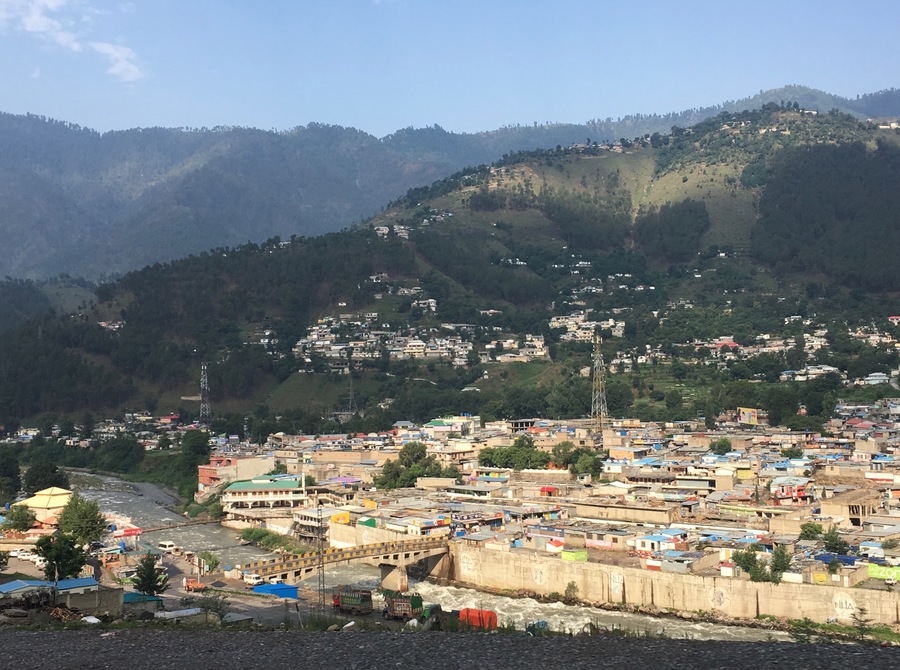
Balakot
The Naran Road is much narrower than the KKH, and about halfway between Mansehra and Balakot it begins to twist and turn, ascending the hills at the foot of the Kaghan Valley. The scenery is quite plain until you cross over; on the other side of the hills the road drops down into the pretty valley, demarcated by the Kunhar River.
In Balakot we pitched our tent in the grounds of the PTDC Motel who charged us Rs. 500 for the night to use their facilities.
Day 2: Balakot – Gilgit (316kms)
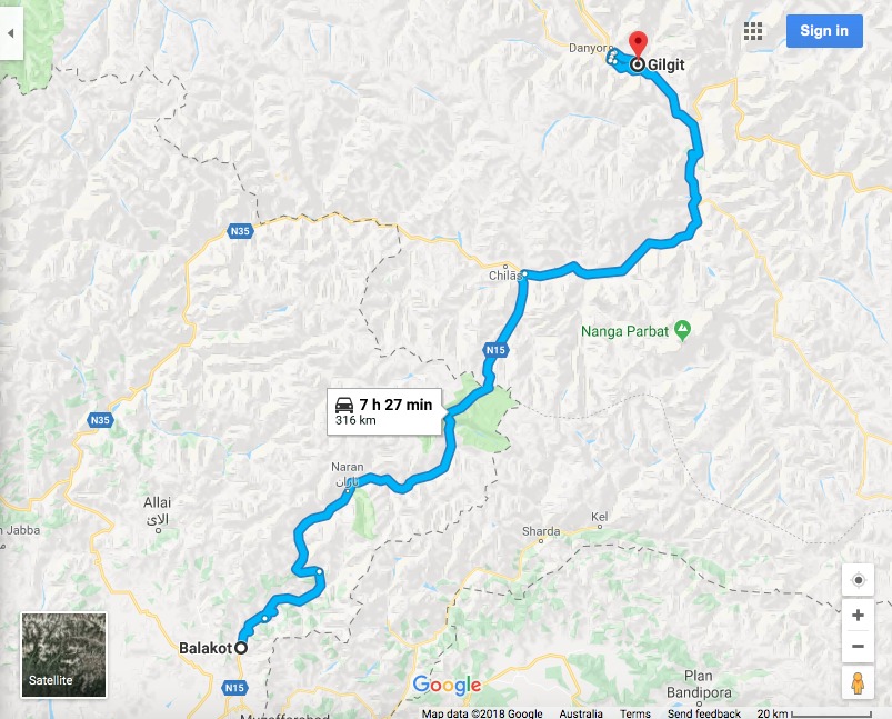
Map: Google
This was one very long day, and a better way to divide the driving would have been Rawalpindi – Naran on day 1, then Naran – Gilgit on day 2, but the rain in ‘Pindi ensured we could only get as far as Balakot on the first day.
This day was not so long because of the distance as the conditions; this section contains the toughest driving conditions of the whole journey.
Out of Balakot the road climbs the side of the Kaghan Valley, skirting the mountain sides and affording great views across the river and towards the lofty peaks ahead. It continues winding its way through the valley; the road features one lane in either direction, and plenty of opportunities to pull over and take a picture. The issue here isn’t the quality of the road, but the steady ascent, the twists and turns, and the amount of traffic it carries.
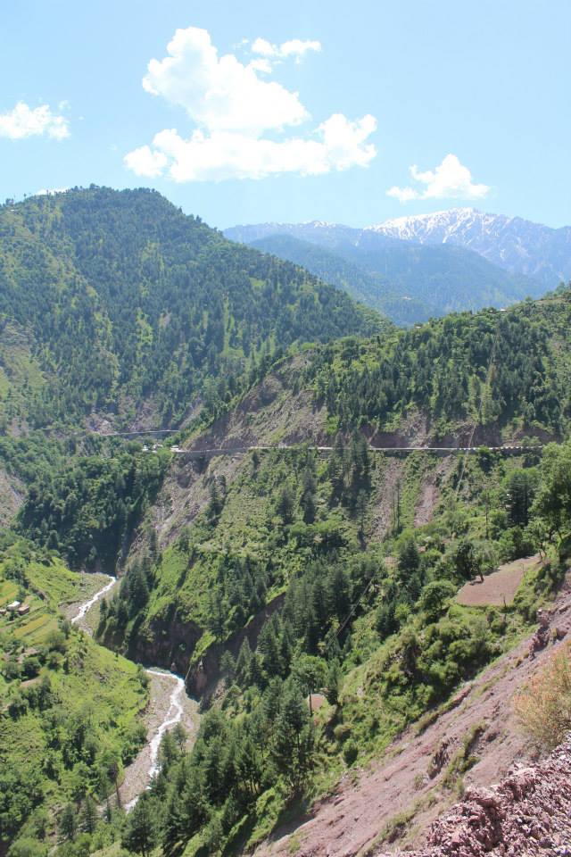
The Kaghan Valley near Kiwai
About 20 kilometres along you can stop for drinks at Kiwai, and if you have the time, head up to Shogran and Siri Pae. Be aware that the road to Shogran from Kiwai is brutally steep, and not all bikes will make it. Further along you’ll pass through Kaghan, then Naran. After Kaghan you will start seeing glaciers which cross the road – be extremely careful when crossing them, as several bikes and even cars have been swept away in the past.
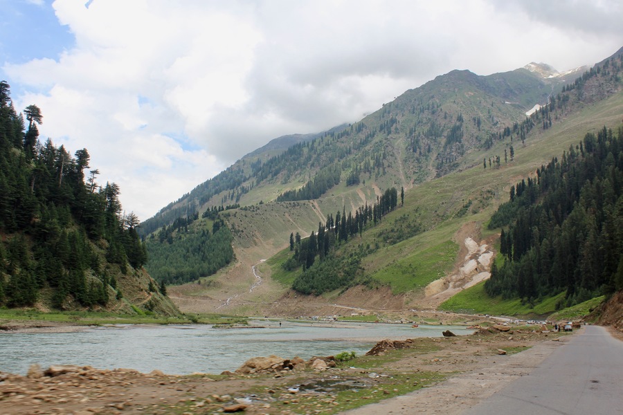
Kunhar River near Naran
Naran is a great place to stop for some food, and if you have time, head up to beautiful Lake Saif-ul-Malook. Don’t leave Naran without supplies – the next leg is a long one, with few facilities available. The road continues its course along the Kunhar River, though Batakundi (stop here for Lalazar Meadows), and then past Lulusar Lake. When you arrive at the lake you know that you have entered the Lulusar-Dudipatsar National Park which extends up to the provincial/regional border with Gilgit-Baltistan. The national park is a great place for hiking.
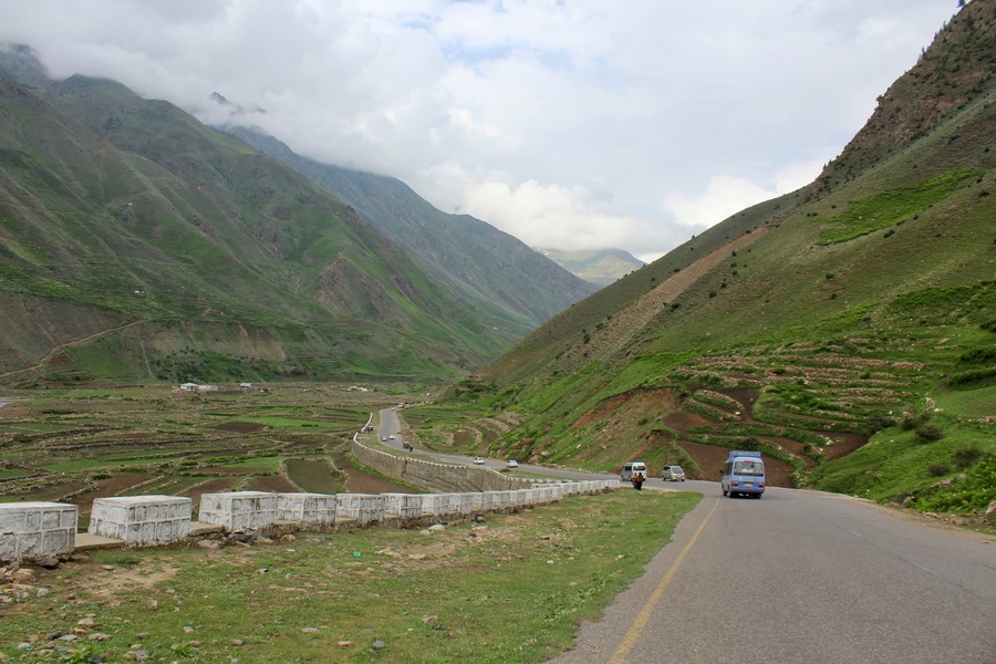
On the Naran Road near Batakundi
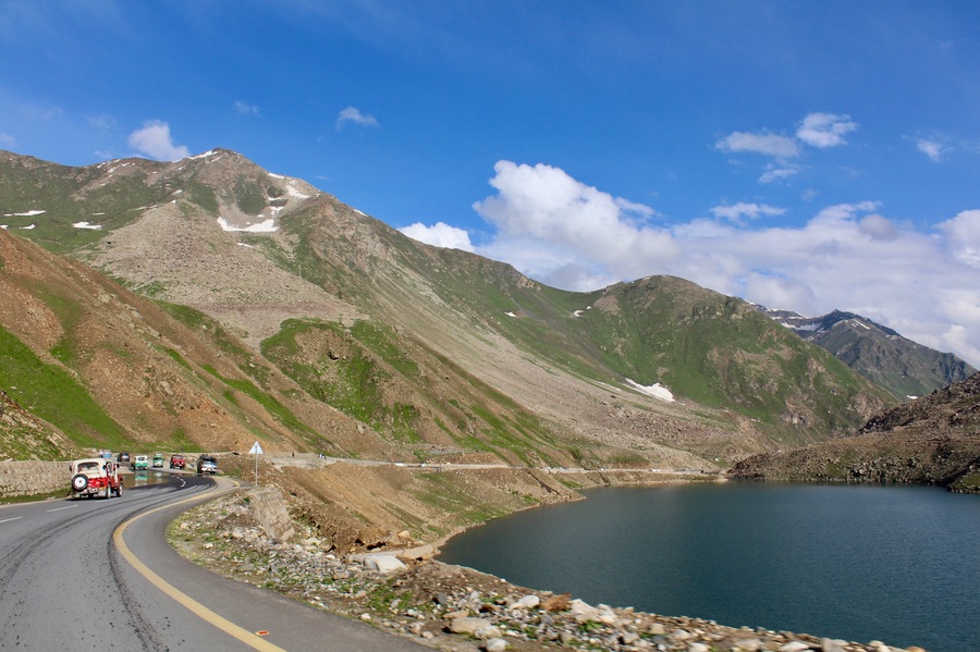
Naran Road at Lulusar Lake
Eventually you will start climbing towards Babusar Top, also known as Babusar Pass. At 4,173m it’s a test for your bikes engine (which needs oxygen to operate) and for your own lungs when you need to step off and wheel it part of the way up the hill. It’s cold and windy at the top, so make sure you are carrying warm clothes. The pass crosses a western arm of the Himalayan range, and after crossing the top of the pass the road enters Gilgit-Baltistan. From here it’s 45 kilometres of switchbacking to descend to the Karakoram Highway. Take care here – many accidents continue to occur every week.
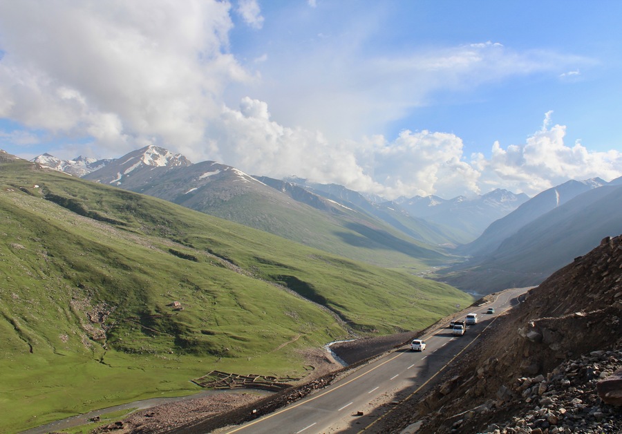
Naran Road near Jalkhad
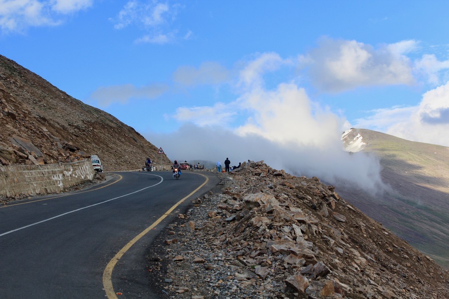
Naran Road at Babusar Pass
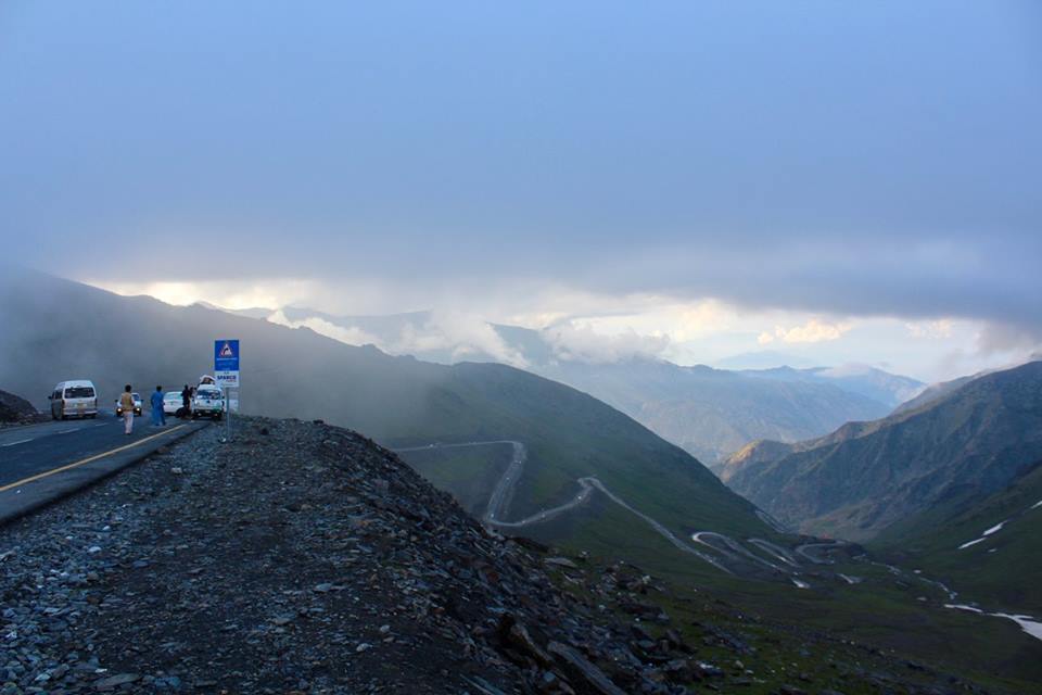
The road from Babusar Pass into Gilgit-Baltistan
Chilas is about five kilometres west of the northern junction between he Naran Road and the Karakoram Highway, and although it’s not on the way, the short diversion might be worth it. Reaching Chilas is a mixed blessing; the temperature is less harsh, and there are petrol, mechanic, food and accommodation facilities available, while on the other hand the KKH degenerates into a dusty, rocky trail after Chilas, and the Chilasi people don’t have a reputation for being the most welcoming of outsiders. If you skip Chilas then there is a significant petrol station and restaurant complex about five kilometres along on the right.
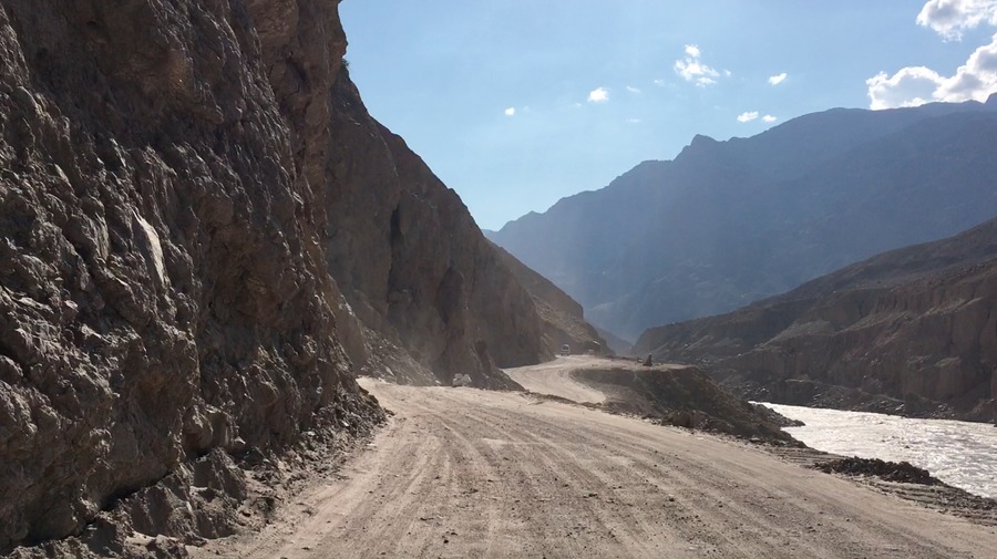
Karakoram Highway near Chilas
The rocky road is downright dangerous, and people driving on it don’t seem to care much for other drivers, so take care. It goes for 48 dusty kilometres with few facilities available until the Raikot Bridge. From the Raikot Bridge you can hire a jeep and head towards Fairy Meadows, or continue the journey northwards. After the Raikot Bridge the newly-concreted, CPEC-inspired Karakoram Highway begins, and is a dream to drive along. It’s 64 kilometres to Gilgit along this dream of a road, and along the way you’ll see turnoffs to a viewing point where three mountain ranges meet (Himalaya, Hindu Kush and Karakoram) and the Skardu Road, all while passing increasingly frequent petrol and food facilities. Gilgit is not actually on the KKH – you need to take a turnoff and drive about another ten kilometres in to the city centre.
In Gilgit we pitched our tent in the park opposite the airport runway, near the main roundabout in the city. I’m not sure if this is always an option, but security forces were guiding other campers in when we visited.
Day 3: Gilgit – Sost (177kms)
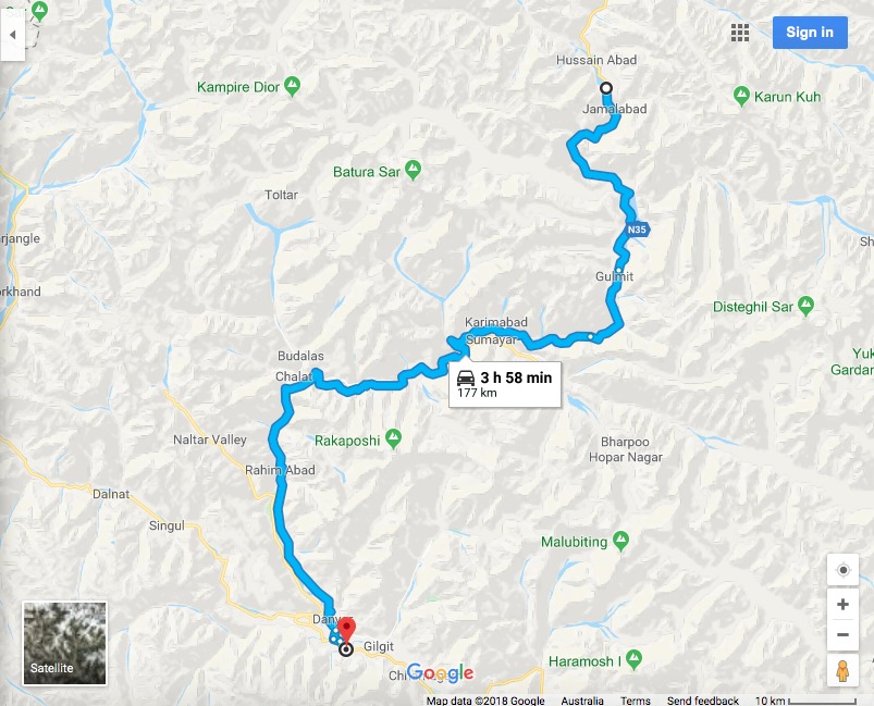
Map: Google
This is the best part of the journey – the road is smooth, the villages quaint and the scenery spectacular. In short, this is what we came for. Facilities are more frequent along this section of the road, although less so after Hunza. It’s possible to cover this in one day, but it’s so much more tempting to stop along the way and get stuck somewhere, letting the hours of unwinding turn into days, weeks…
Leaving Gilgit the road undulates a little, but the most noticeable change here is in the scenery – the break taking Karakoram Range starts to ride either side of the KKH, and soon enough, directly in front of it – tunnels and lots of meandering mean the ride is never interrupted. There are plenty of places to stop to eat, drink, buy local produce or fill up petrol along the way. Some of these villages are very beautiful, so it’s well worth stopping when you feel like taking a break.
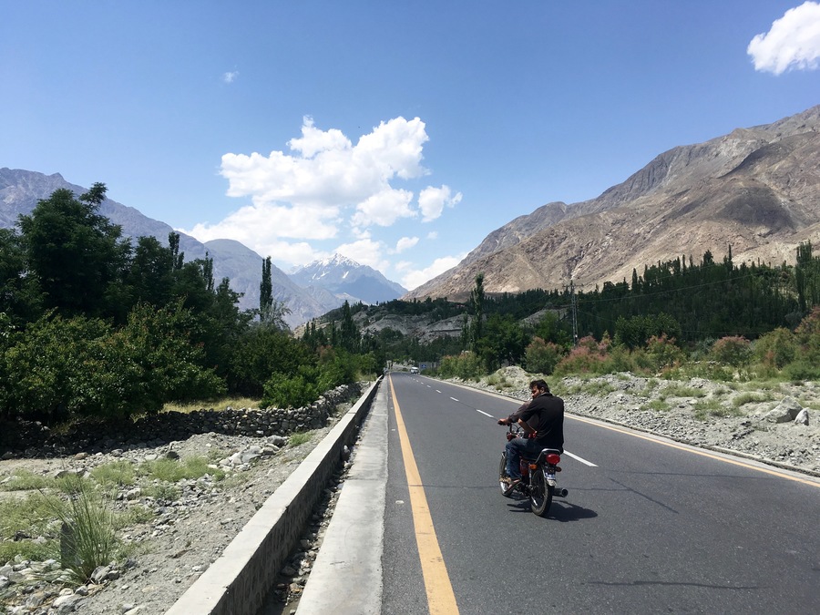
Setting out on the KKH from Gilgit
On either side of the road there are also some great side trips – Naltar Valley (which requires doubling back to Gilgit), Chalt, the Rakaposhi View Point, Nagyr Valley and eventually Karimabad, the commercial capital of Hunza. Note, there is no actual town called “Hunza”.
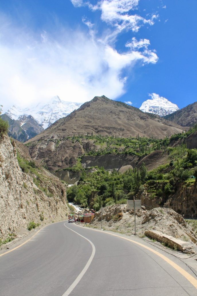
Karakoram Highway near Hunza
After Hunza the road climbs steadily into the area known as Gojal, or Upper Hunza. There is a series of tunnels around the Attabad Lake, and then after Gulmit it’s not long until the striking Passu Cones or Cathedral Range appear ahead of you. At the village of Hussaini you can stop for chai and dare to wobble across the Hussaini suspension bridge, while at Passu you really should stop for the apricot cake at the Glacier Breeze cafe.
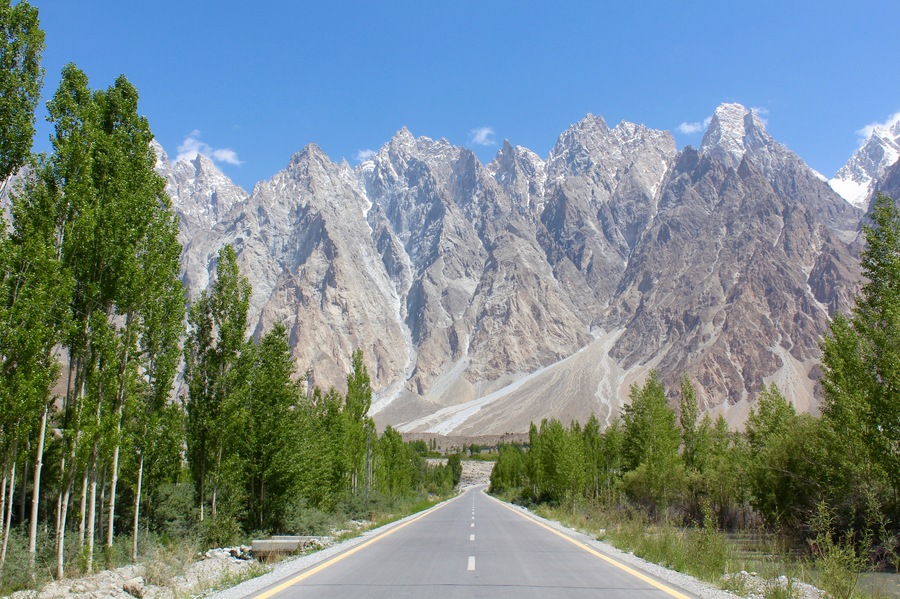
Cathedral Range from the Karakoram Highway
There aren’t many services after Passu until the border post town of Sost. At Sost you will find everything that you’d expect at a border post town – banks, hotels, food vendors, transport options etc. We pitched our tent at the Dreamland Hotel just to the south of town.
Day 4: Sost – Khunjerab Pass
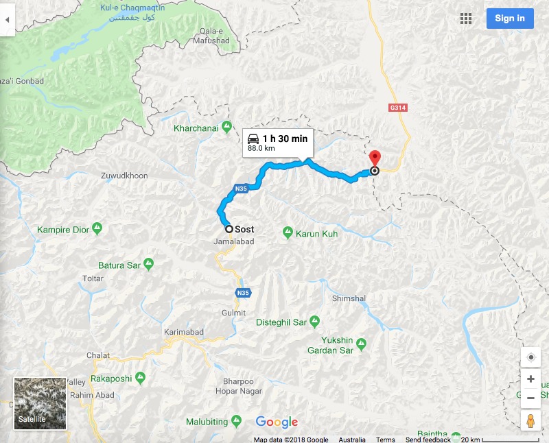
Map: Google
This was the final stage in our journey. For this, you’ll need to be prepared – fill up on petrol at Sost, because not much is available after that. From Sost it’s 88 kilometres to the border. As you leave Sost there’s a police check post where they ask you why you are going to the border – if you’re planning to cross the border, they will ask to see your documents.
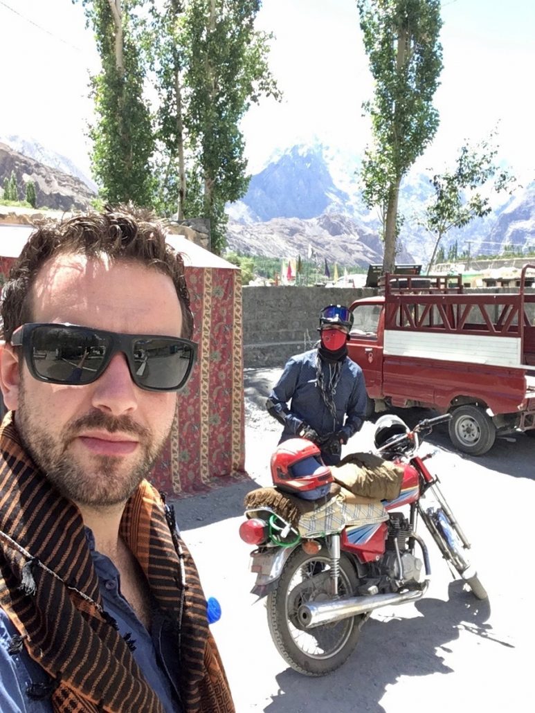
About to drive out from Sost
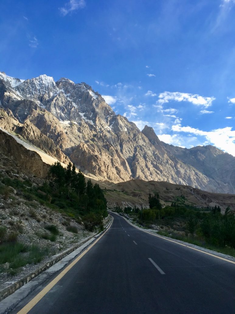
The Karakoram Highway near Sost
The road is flat, and the scenery is initially dry, dusty mountain sides, however the valley walls soon close in and it begins to resemble a canyon instead. The road weaves through the narrow escarpments, before entering the Khunjerab National Park; here, everyone must pay an entry fee – US$8 for foreigners, Rs. 40 for locals. The road continues inside the national park, and the scenery is slightly greener, until the last 16 kilometres where the final ascent begins. It’s steep, switchbacking up the hillside until finally flattening out for the final kilometre approaching the border.
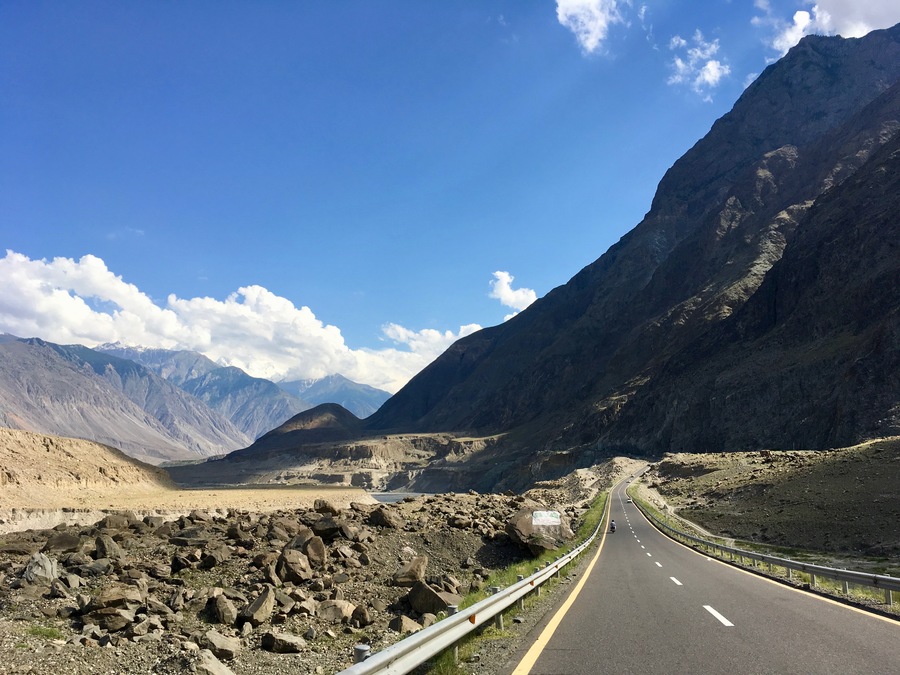
The Karakoram Highway between Sost and the Khunjerab Pass
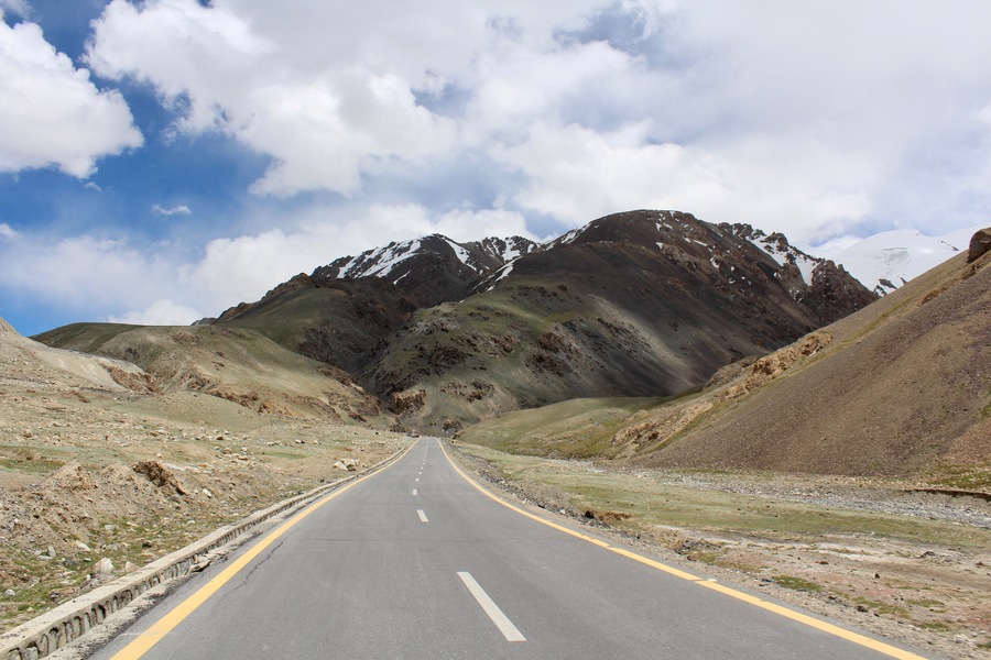
The final ascent to the Khunjerab Pass
The border is at 4,600m above sea level, and many bikes struggle with the lack of oxygen at that altitude. At the border there is an ATM, a military check point, and usually a few stands serving chai or instant coffee. Visitors usually spend around an hour here, peering over into China, having their photos taken in front of the faux-Great Wall border arch, reading the names on the memorial plaque to those who gave their lives in building the highway, or simply dancing in the street and throwing snowballs around (as you do).
There is no accommodation at the border, so you must return to Sost or further south the same day.
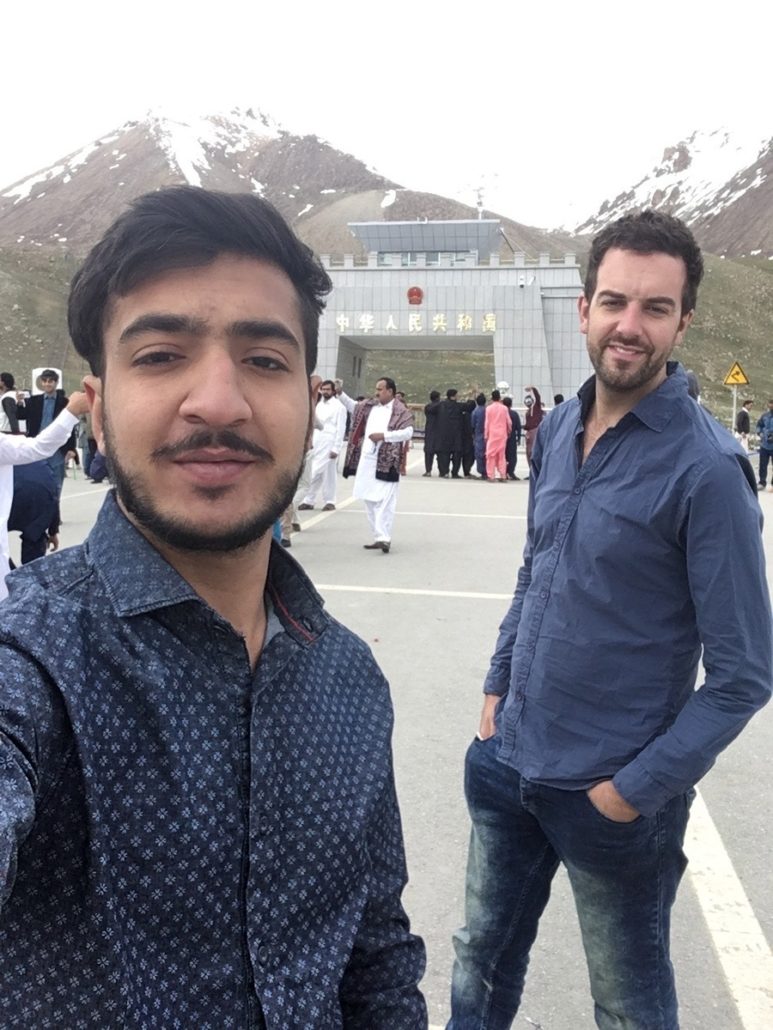
Selfies with Moazam Khunjerab Pass
On our return journey we took much longer, enjoying the famed hospitality of the Hunza Valley, or testing our mettle at the Hussaini Bridge, and really, that’s what travel is all about. Especially in this region, it would be such a shame to go to the border simply for the border, while missing out on the richness of the places along the way.
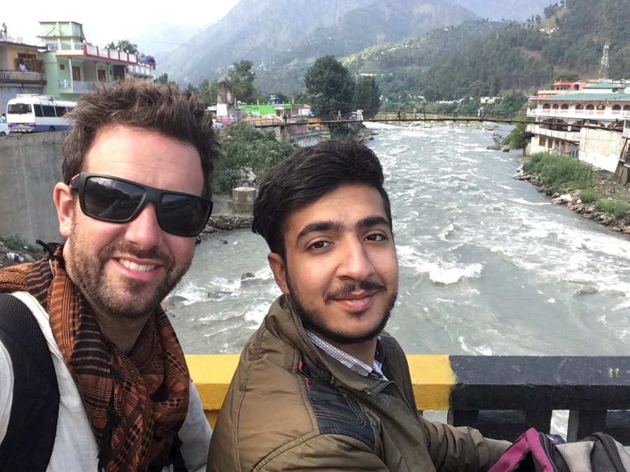
On the road at Balakot on the return journey
We returned to Lahore about ten days later, exhausted, sunburnt, wind-blown but exhilarated and with a unique sense of accomplishment.


With nap sack upon my shoulder
for many a year, have I been gone.
My days have grown long and colder
though in my heart I don’t feel older
so I walked along the beach at dawn.
I breathe in the life of fresh salt air
carried on a gentle ocean breeze.
Caught in this moment without a care;
to brave ice cold water, should I dare?
Then to warm in the sun as I please.
Digging for clams before mid day,
beneath the cawing of hungry gull.
I watched the children happily play
in a day dream I drifted away;
amidst the crashing waves that lull.
Since hitting the road from western shore
more than a decade has passed me bye.
A journeyed traveler on a life long tour
to reach east coast dawn, soul will soar
unto the heavens with a twinkling eye.
This vagabond life can I transcend?
To give up sleeping beneath the stars
Life on life’s terms does not pretend
This journey fades as I near the end
The long sleep under Venus and Mars
Beautiful! You should publish this!
I haven’t taken a long motorbike journey yet but your adventure seems awesome. You obviously had a blast, Tim! Seems like a great itinerary. 😉
It was so much fun, and we saw so much! I would love to go back and do it again! Thanks for reading 🙂
Brings back fond memories of my KKR trip. It is really worth stopping at Passu, camping or staying in a motel, and do the walk to the Glacier. Great info, you should write a book 🙂
hehehehe… thanks for commenting Simon 🙂